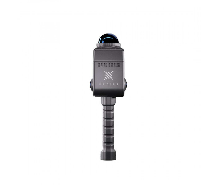
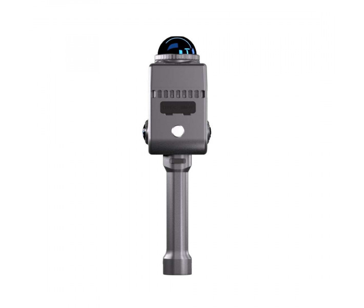
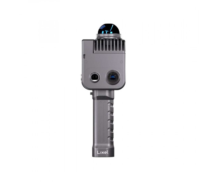


- Stock: In Stock
- Product code: 920372000001061057
- Weight Brutto: 7.50kg

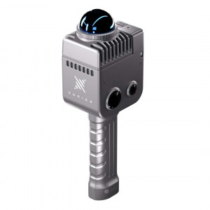
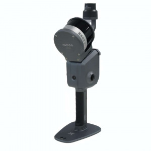
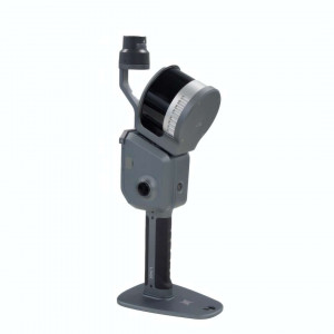
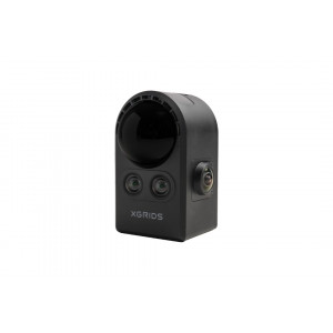
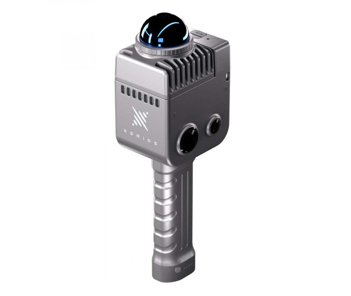
The XGRIDS Lixel K1 Standard Package is a mobile LiDAR scanner built for spatial documentation in the field. It combines 360° LiDAR with panoramic HDV cameras to generate coloured point clouds in real time. Single-button operation removes the need for tripods, specialist operators, and lengthy post-processing. The aviation-aluminium housing and IP54 rating are engineered for a wide range of operating conditions.
| Specification | Your advantage |
|---|---|
| LiDAR relative accuracy: 1.2 cm | Point clouds meet the requirements of project documentation and BIM integration without additional equipment. |
| Scanning speed: 200000 points/s | A large site is covered in a single session — no return visits to the site are necessary. |
| Camera resolution: 48 MP × 2 | The panoramic colour point cloud is suitable for detailed analysis of surfaces and architectural elements. |
| Device weight: 1 kg | A single operator covers an entire site without tripods or assistants. |
- Real time: Multi-SLAM algorithms generate a point cloud during movement — no separate post-processing stage is required.
- RTK positioning: the built-in RTK module provides absolute coordinate georeferencing without placing ground control points.
- Temperature range: operation from -20 °C to +50 °C covers most climatic zones and working environments.
- Software stack: Lixel Studio processes point clouds and generates CAD/BIM exports; LCC Studio produces photorealistic 3DGS models with a 90 % reduction in file size.
XGRIDS Lixel K1 versus traditional survey methods
Traditional ground-based survey methods require several days on site and weeks of post-processing before usable results are available. Bringing in specialist crews and heavy static equipment adds both cost and lead time. The XGRIDS Lixel K1 Standard Package removes these barriers: point cloud data is computed in real time during the scan. Initial results are available for review on site — no return to the office is required.
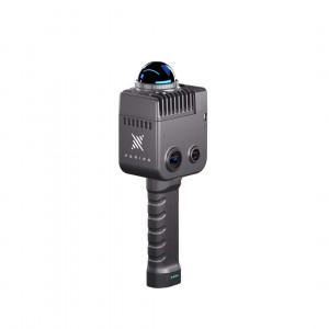
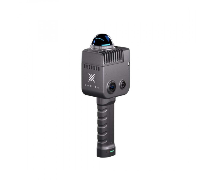
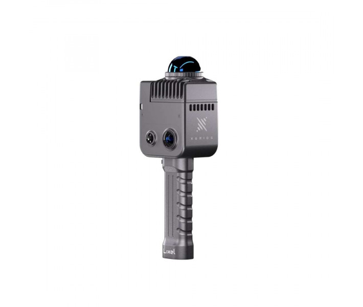
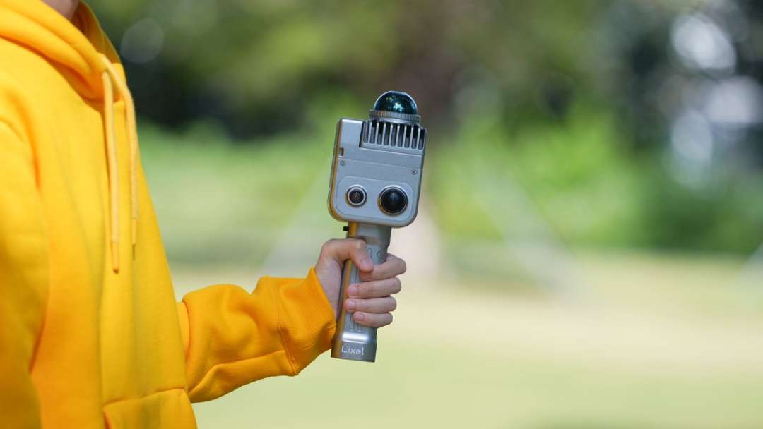
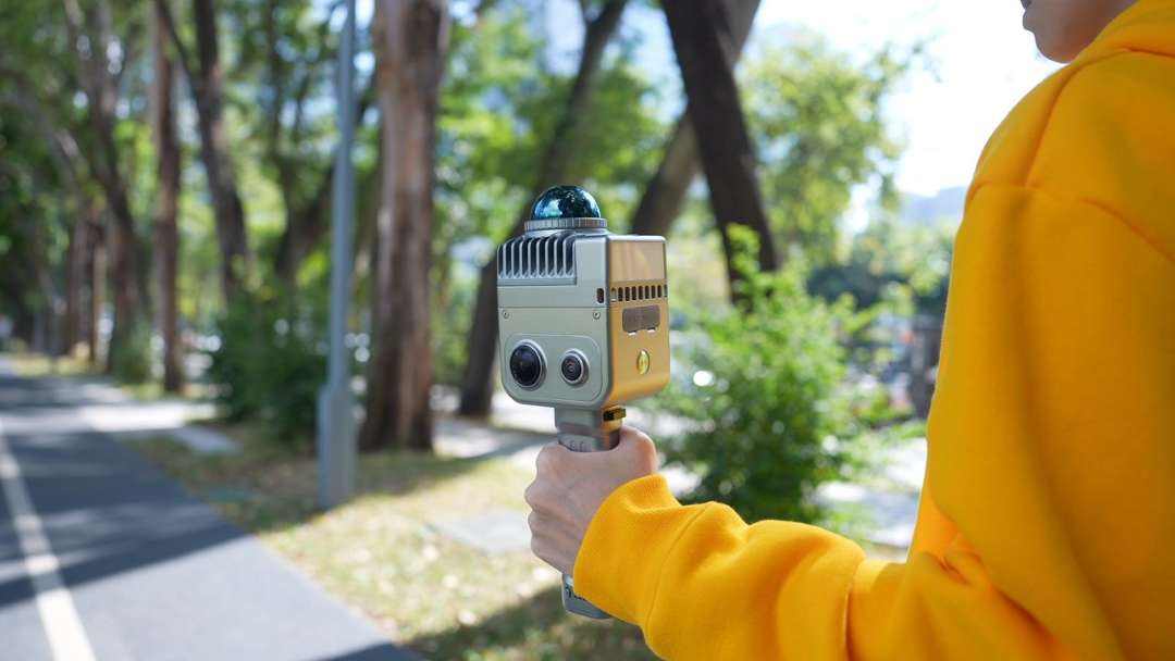
The field photograph below shows the key hardware components: the front dual-camera module, the LiDAR dome, and the grip with the manufacturer's logo.
Hardware platform
The scanning module is a 360° LiDAR with a vertical field of view from -7° to +52°. It captures data at 200000 points/s, with a relative accuracy of 1.2 cm delivered by Multi-SLAM algorithms. These continuously track the device's position, even in environments with minimal structural features. The built-in RTK module provides absolute spatial positioning without the need for ground control points.
The photograph shows an operator in a yellow hoodie scanning an industrial laboratory with shelving and workbenches.
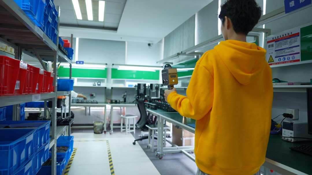
The visual module comprises four cameras. Two 48-megapixel HDV sensors form a 360° × 360° panorama with a maximum resolution of 56 MP. Colour is mapped onto the point cloud automatically, without manual texturing in post-processing. The IP54 rating and operating range from -20 °C to +50 °C ensure reliable performance across varied climatic and industrial environments.
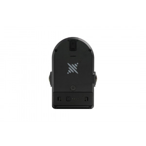
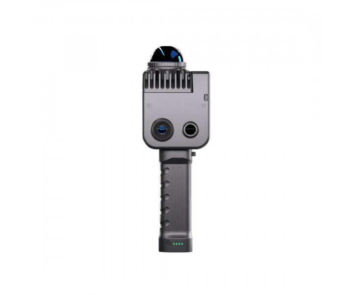
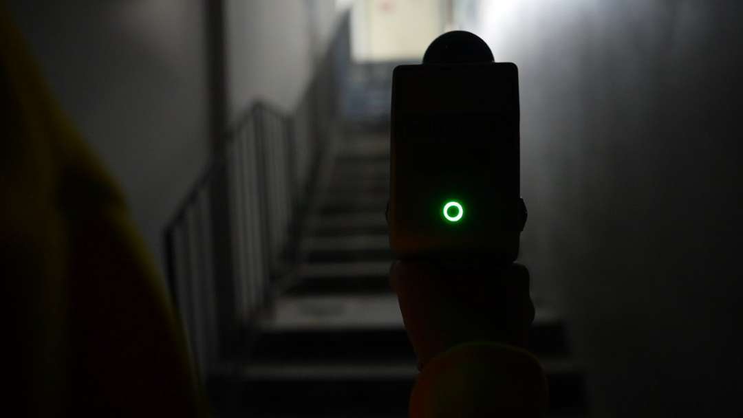
The green LED status indicator is illuminated on the rear panel during a scan of a dimly lit stairwell.
Three-step workflow
Scanning is initiated with a single button press. The LixelGO mobile application provides real-time scanner control, mission planning, and on-site device monitoring. The point cloud is saved in .las format to a 256 GB TF card and is immediately available for review in the field.
Post-processing is carried out in Lixel Studio or in mixed mode, depending on accuracy and speed requirements. Completed data is exported to CAD/BIM or published as an interactive 3D model.
The smartphone screen displays the real-time point cloud map and telemetry from the companion application.

Lixel software
Lixel Studio is a dedicated Windows tool with a full feature set: measurement, geometry editing, and CAD/BIM export. LCC Studio uses AI to generate photorealistic 3DGS models with a 90 % reduction in file size. Smaller file sizes simplify delivery of results to clients and publication in online environments.
Applications
This scanner finds application across industries where precise spatial documentation is required without lengthy preparation or specialist crews.
The photograph shows an operator in a yellow hoodie directing the scanner forward while walking through an open courtyard.

The device is held by the operator above a tree-lined footpath, with the front camera array and upper sensor dome clearly visible.
- Architecture and construction: interior documentation and as-built measured surveys are completed in a single operator walkthrough. The same data supports construction progress monitoring and BIM integration.
- Infrastructure and resources: earthwork volume calculations and mine surveys are carried out without static equipment. Industrial site documentation remains possible even in hard-to-access conditions.
- Real estate and facilities: condition assessments and renovation planning are carried out from a single point cloud. A digital twin is generated to support the preparation of design and technical documentation.
- Cultural heritage: digital archiving of artefacts and digitisation of museum collections support the preservation of heritage sites. Architectural monuments are documented to an accuracy sufficient for restoration projects.
- Environmental monitoring: studies of climate change impacts and recording of natural habitats are carried out without deploying static equipment in the field.
Technical specifications
Device operating specifications
| Parameter | Value |
| Input power | 14.4 V |
| Power consumption | <20 W |
| Weight | 1 kg |
| Data interface | USB 3.1 Gen2 |
| Storage | 256 GB TF card |
| Connectivity | Wi-Fi/Bluetooth, 2.4G Wi-Fi 2412–2472 MHz, 5G2 Wi-Fi 5180–5240 MHz, 5G8 Wi-Fi 5745–5825 MHz |
| Operating temperature | -20 °C ~ 50 °C |
| Protection rating | IP54 |
| Housing material | Aviation aluminium |
| Power source | Quick-release battery / External power supply |
| Battery life | 1.5 h |
| Battery capacity | 28.8 Wh |
| Number of cameras | 4 |
| Visual positioning | Supported |
| App Wi-Fi range | 20 m |
| RTK module | Supported |
LiDAR
| Parameter | Value |
| Relative accuracy | 1.2 cm |
| Laser class | Class 1 / 905 nm |
| Repeatability accuracy | 2 cm |
| Absolute accuracy | 3 cm |
| Operating range | 0.1 m ~ 40 m @10 %, 70 m @80 % |
| Horizontal accuracy | 0.015° |
| Scanning mode | Mobile |
| LiDAR field of view | 360° × -7°~+52° |
| Scanning speed | 200000 points/s |
Visual module
| Parameter | Value |
| Camera field of view | HDV colour panorama 360° × 360° |
| Camera resolution | 48 MP × 2 |
| Panoramic image resolution | Max. 56 MP |
Data and storage
| Parameter | Value |
| Computation mode | Real-time computation / Mixed computation |
| Processing software | Lixel Studio post-processing software for Windows |
| Point cloud format | .las |
| Colour point cloud | Supported |
Why buy the XGRIDS Lixel K1 from EXPERT3D?
EXPERT3D has been supplying professional equipment for spatial documentation and 3D scanning since 2012. As an official representative of XGRIDS, we guarantee 100 % product authenticity, a fair price, and an official warranty. Authorised after-sales service is available to every customer. Our specialists provide pre-purchase consultation and help you select the right configuration for your requirements. We deliver across Spain and the EU with a complete set of supporting documentation. Post-sale support and operator training enable rapid commissioning of the device. Consumables and spare parts are available in the EXPERT3D catalogue.